WE DETECT · WE MONITOR · WE ANALYZE · YOU CONVERT
Get Fresh Leads,
Before The Competition.
CiviSignal analyzes real-time market signals like business filings, local permits, development activity and government data. Our proprietary, AI-powered discovery and prospecting engine then finds new leads and opportunities for your business.
2,250+
FLORIDA ADDED BUSINESSES DAILY
1,500+
FLORIDA PERMITS ADDED DAILY
67
FLORIDA COUNTIES
TRACKED
24/7
REAL-TIME OPPORTUNITIES
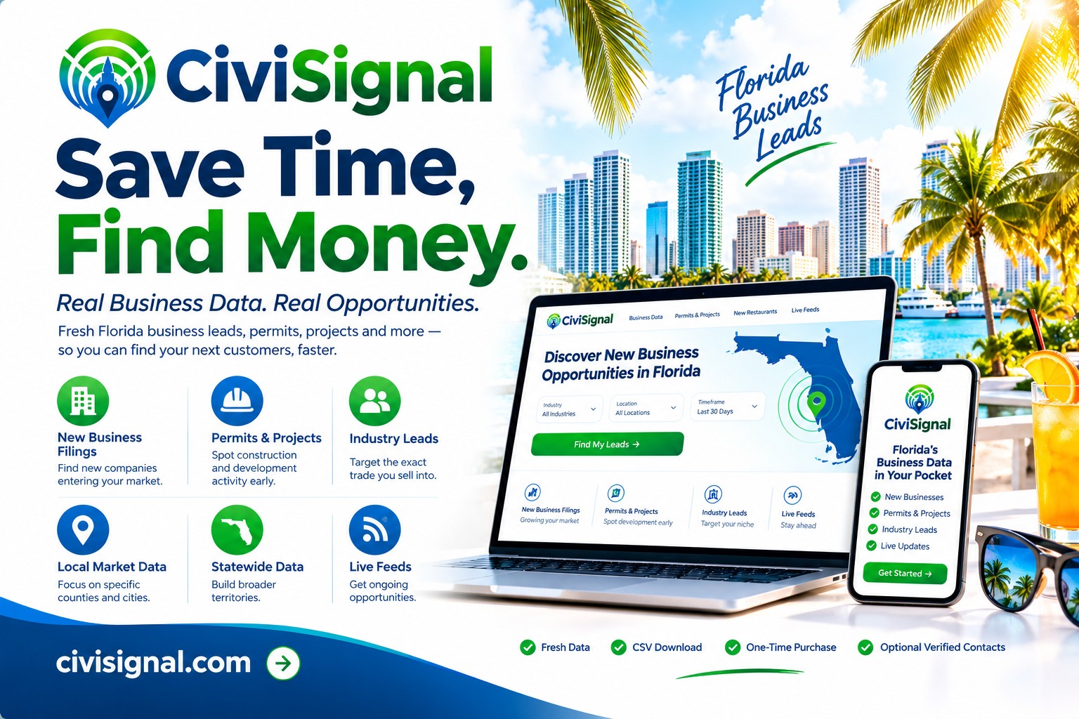
Start monitoring what matters — in minutes.
Explore your industry, trade and local areas where you do business in Florida.
—
Records indexed
—
Public data sources
—
Watch areas
Email · SMS · Slack · Webhook
Alert channels
Live signal map
( LIVE ) - New Florida Business Filings & Permits
Our business intelligence engine categorizes thousands of new business filings and permits in Florida daily. We update and enrich the data, then map it by county, city and industry.
Near you
Near Orlando
Click any cluster to preview and unlock the list.
Latest signals
What just hit the feed
- Loading signals…
Browse
All Industries
20+ classified sectors — construction, real estate, golf, marine, hospitality and more.
Explore industries →
Browse
All Counties
Every Florida county we monitor — signals scoped to your territory.
Explore counties →
Browse
All Cities
130+ Florida cities live — Miami, Tampa, Orlando, Jacksonville and beyond.
Explore cities →
1. We Detect.
We find high-value opportunities first — before your competitors know.
2. We Monitor.
We monitor real-time government + market signals across every FL county.
3. We Analyze.
Our proprietary business engine turns raw data into actionable, scored leads and business intelligence.
4. You Convert!
You win more leads, grow revenue and put efforts prospecting on autopilot.
BUILT FOR SMART BUSINESSES